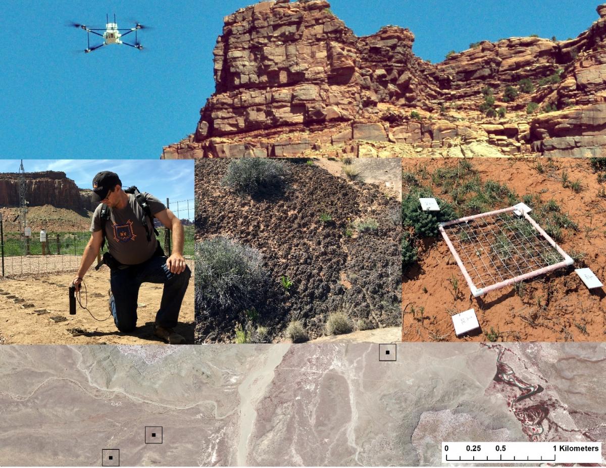
Biocrusts (communities of mosses, lichens, and cyanobacteria) are ecologically important in arid lands for their role in stabilizing soils and reducing erosion, fixing carbon, and cycling nutrients, but their condition and extent are difficult to determine in remote and rugged areas like Utah’s Canyonlands. Trampling by livestock and humans can cause irreparable damage to biocrusts; therefore, small Unmanned Aerial Systems (UAS) provide an ideal platform for remote monitoring of these fragile communities. For this project scientists are using UASs to collect high-resolution ( less than 1-cm) near-infrared and color images over a number of biocrust monitoring plots established by the USGS in 2006. WorldView-3 satellite data (31-cm panchromatic resolution, 1.24-m multispectral, and 3.7-m shortwave infrared) covering Canyonlands National Park and adjacent BLM management units were acquired at the same time as the UAS overflights. Hand-held field spectroradiometer measurements are being used to characterize spectral reflectance profiles of biocrusts, soils, and vegetation, which along with field cover and UAS data will be used to scale up biocrust information over the larger landscape. This work is a collaborative effort that involves USGS researchers from the Western Geographic Science Center, Southwest Biological Science Center, and Canyonlands Research Center, and scientists at the University of Colorado.

Unmanned Aerial Systems (UAS) were used to collect sub-centimeter color and near-infrared images of biological soil crust monitoring plots (top panel). Field spectra, crust community composition, and chlorophyll samples were collected at some field sites (center triptych). WorldView-3 multispectral imagery was collected of the study area coincident with UAS and field data collection (bottom panel).

