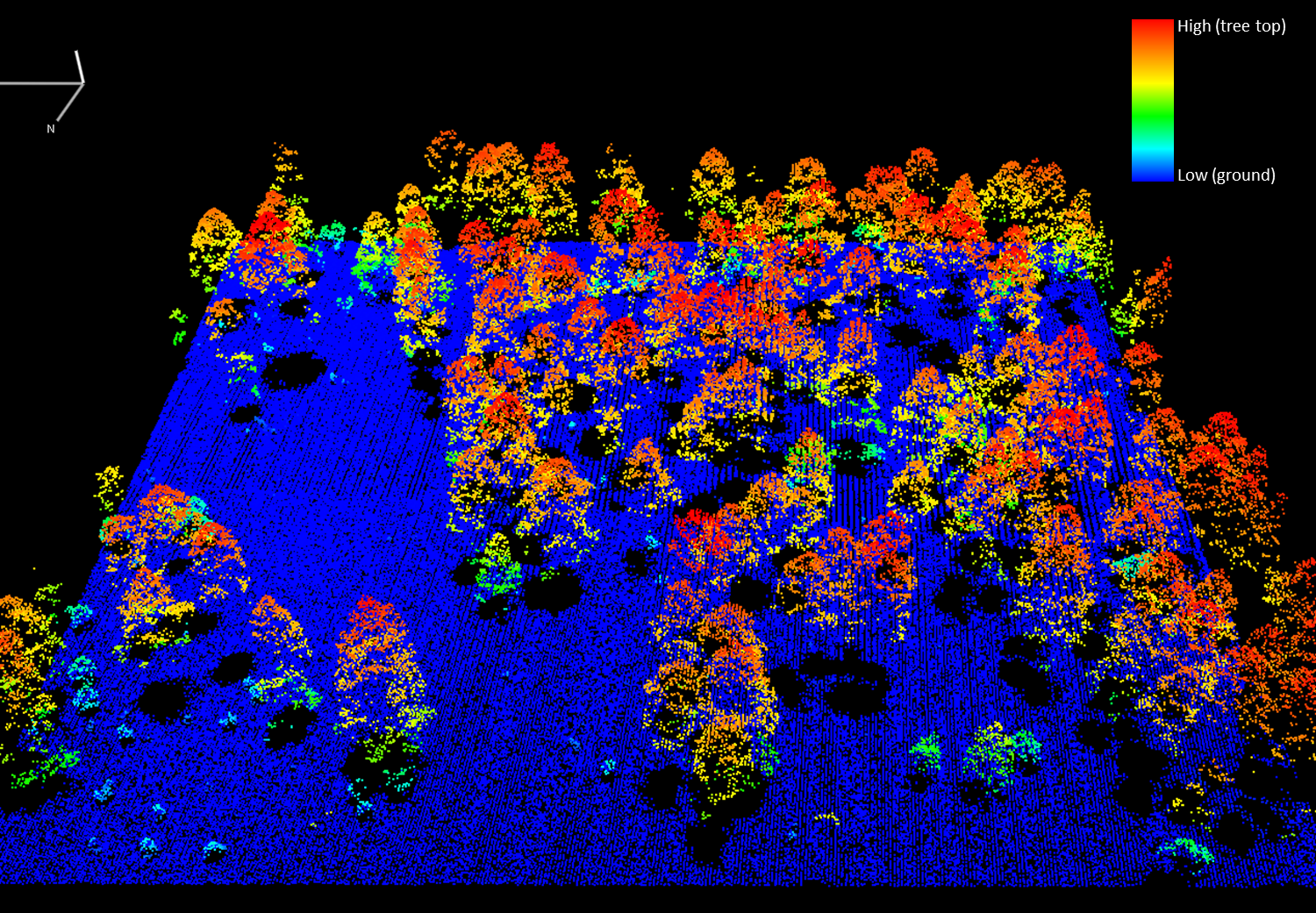
Large uncertainties in terrestrial biomass estimates contribute to errors in carbon stock assessments and climate and ecosystem process modeling. An operational biomass Essential Climate Variable (ECV) can improve biomass retrievals by synergistically combining structural information from active remote sensing data with spectral information from passive remote sensing data. In the context of creating an operational biomass ECV product, USGS scientists evaluated the individual effectiveness of high-resolution commercial imagery (WorldView-2), moderate-resolution multispectral imagery (Landsat 8), and airborne lidar data for estimating the aboveground biomass of forests and woodlands on the San Carlos Apache Reservation in Arizona. Landsat-derived estimates were superior to those of WorldView-2 but still produced 2–3 times the amount of error as those derived from lidar, suggesting that the combination of Landsat and lidar data would be an effective contribution to an ECV. Lidar and Landsat data also offer complementary acquisition benefits: the 3D Elevation Program (3DEP) supplies national lidar coverage over time, while Landsat can be used to obtain wall-to-wall imagery.

Lidar point cloud of a Ponderosa pine plot on the San Carlos Apache Reservation. Colors reflect tree height above ground level, from low (cyan) to high (red).

