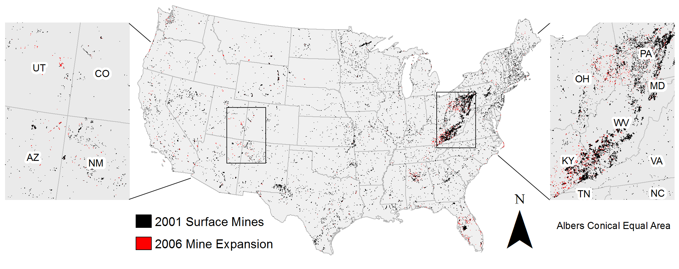
Until recently, a spatially explicit dataset illustrating the 21st century mining footprint for the conterminous United States did not exist. Through collaboration between the USGS Western Geographic Science Center, USGS Earth Resources Observation and Science (EROS) Center, and SUNY Department of Forest and Natural Resources Management, surface mines within the United States have now been mapped for 2001 and 2006. These maps present a more complete picture of mining in the United States and can contribute to research concerning the environmental consequences of land use throughout the country. The process is documented in Land Degradation and Development (http://onlinelibrary.wiley.com/doi/10.1002/ldr.2412/abstract). Supplemental spatial data are hosted by the USGS (http://landcovertrends.usgs.gov/download/mining.html).
http://landcovertrends.usgs.gov/download/mining.html

The 2001 and 2006 mines mapped within the conterminous United States.

