Remotely sensed datasets such as satellite imagery and aerial photography can be invaluable resources to support the response to and recovery from emergency events such as floods, earthquakes, landslides, wildfires, and other natural or human-induced disasters. When disasters strike there is often an urgent need and high demand for coordinated, rapid acquisition and distribution of pre- and post-event geospatial products and remotely sensed imagery. These products and images are necessary to record change and analyze the impacts of and facilitate the response to rapidly changing conditions on the ground.
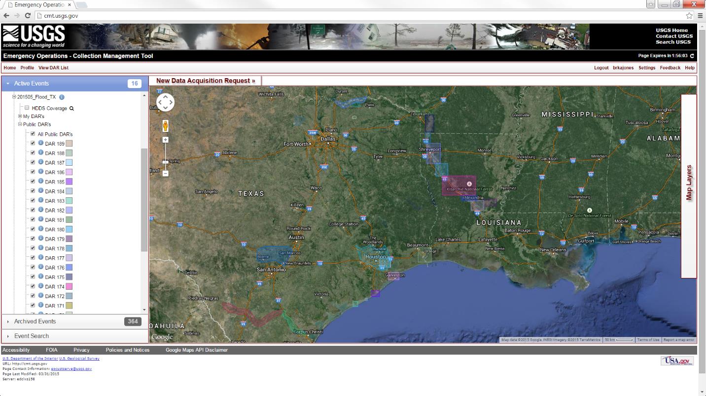
The emergency response community did not have an easy way to view available image resources and task new collections where acquisition gaps existed. In response to this need, the USGS Earth Resources Observation and Science (EROS) Center created the Collection Management Tool (CMT) as a component of the overall EROS Emergency Operations Hazards Data Distribution System (HDDS). The primary purpose of the CMT is to develop a central requirements/collections entry and collection management platform that will allow responsible parties to view, input, and update their requirements, view collection plans (as available), and monitor incoming HDDS imagery in support of the requirements. The input requirements will be accessible by all responding agencies. The tool will provide timely information and support linkages to HDDS, so all interested users (and other vendors) will be aware of image collection plans, status, and availability during the course of an event response. For further information, contact Brenda Jones, USGS EROS, bkjones@usgs.gov

Data acquisition request areas of interest for the 2015 Texas and Red River flooding shown in the Collection Management Tool.

