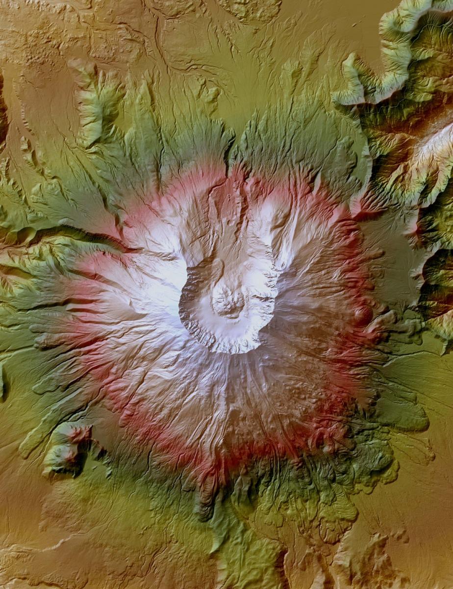
The 3D Elevation Program (3DEP) initiative is managed by the USGS National Geospatial Program to serve government and public needs for enhanced elevation data to address a wide range of uses including flood hazard mitigation, precision agriculture, infrastructure planning and development, biomass determination and a host of other business activities. The Program goal is to systematically collect improved elevation data in the form of high-quality lidar data over the conterminous United States (CONUS), Hawaii, and the U.S. territories, and IFSAR data over Alaska. Existing USGS elevation, lidar and IFSAR capabilities for managing and distributing these datasets are being consolidated under the umbrella of the 3D Elevation Program.
High-resolution image of Mount St. Helens, Washington, produced from lidar.


