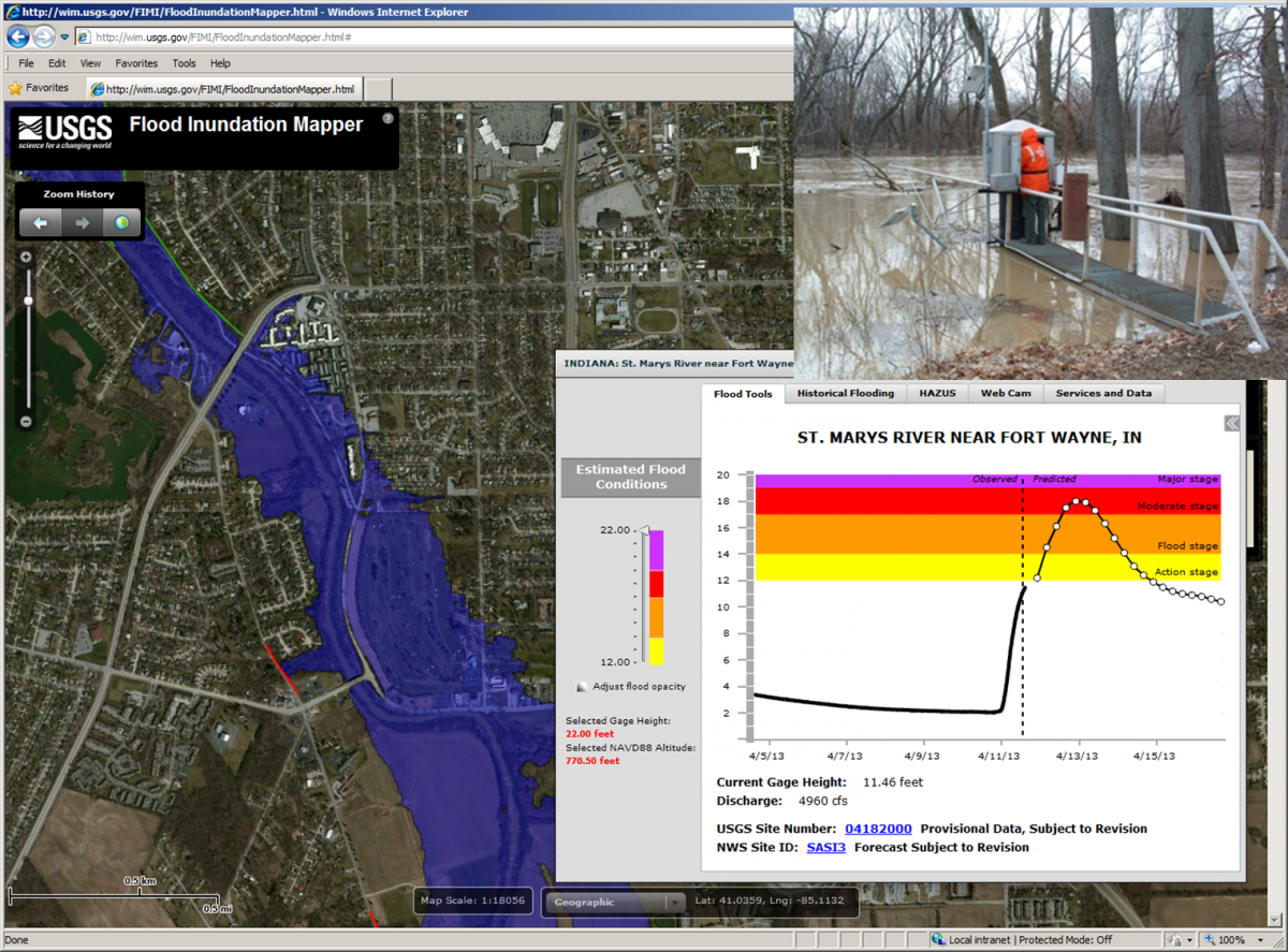
The USGS Indiana-Kentucky Water Science Center Commonwealth is developing—in collaboration with a number of Federal, State, local, university, and private sector partners—40 flood inundation map libraries to help flood-prone communities throughout the two States become more resilient to flood hazards. This project is part of a larger national effort by the USGS, NOAA National Weather Service (NWS), U.S. Army Corps of Engineers, and other partners.
A flood inundation map library contains a series of sequential flood maps for a range of river levels. The libraries are connected to real-time USGS streamgages for observed river level data and usually to collocated NOAA National Weather Service flood forecast points for forecast river level data. Once a flood library is completed, it is accessed on a user-friendly Web map interface (http://water.usgs.gov/osw/flood_inundation/) that allows emergency managers, law enforcement, community planners, and the public to see observed and forecast flood extent and depth overlain on aerial views of terrain, streets, and structures.
Remote sensing products are a critical part of library development, specifically lidar. Hydrologists build computer simulation models using a detailed, lidar-based ground-surface elevation model (DEM) to simulate the channel shape and terrain in the floodplain along the channel. The DEM is then used to create the mapping products that show extent and depth of floodwaters on the ground. For the Indiana-Kentucky effort, lidar is being obtained through partnerships with State and local agencies facilitated by Indiana and Kentucky Silver Jackets Multiagency Hazard Mitigation Taskforces.
Screenshot of the USGS Flood Inundation Mapper showing flood maps tied to the St. Marys River near the Fort Wayne, Indiana, streamgage (streamgage pictured upper right).


