
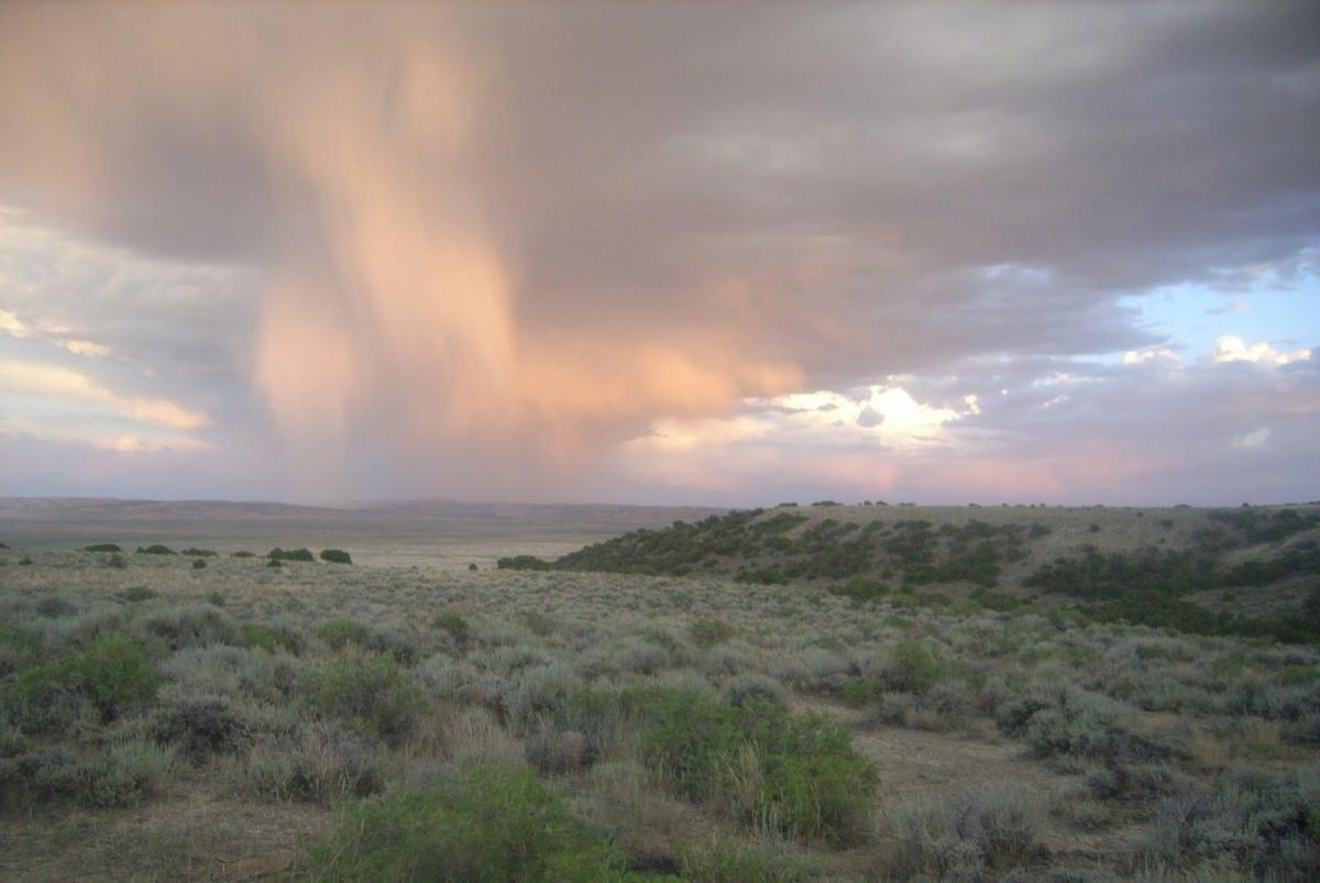
Sagebrush ecosystems are among the most abundant and threatened habitats in North America. Exotic plant invasions, oil and gas drilling, housing developments, altered fire patterns, over-grazing, climate change, and other factors all contribute to degradation and fragmentation of sagebrush ecosystems. These impacts can have detrimental effects on species that depend on sagebrush, such as sage grouse. Effective management and preservation of habitats require long-term landscape knowledge that is local in detail. Geographic Information Systems (GIS) utilizing satellite imagery can provide these kinds of information, but sagebrush habitats have traditionally proven to be a difficult environment for remote sensing. In 2006, the U.S. Geological Survey (USGS) Fort Collins Science Center (FORT) and Earth Resources Observation and Science (EROS) Center, in cooperation with the BLM, began an effort to combine intensive, targeted field sampling with three resolutions of satellite imagery to map and characterize sagebrush habitat for the entire State of Wyoming, USA. The satellite imagery used included QuickBird data pan-sharpened to 0.6 m, 30-m Landsat data, and 56-m Advanced Wide Field Sensor (AWiFS) data. The approach used field data collected at sample sites to train remotely sensed imagery using classification and statistical software to estimate continuous cover components for sagebrush habitats (i.e., sagebrush, bare ground, and herbaceous cover). The novel methods increase accuracy of predictions while mapping large areas such as an entire state. These products allow long-term monitoring of habitat condition and form the foundation of many management questions being addressed such as estimating the effects of climate change on habitat quality or identification of critical habitat needs for species like sage grouse. The research team has explored and published many papers on various aspects of this research, including the following:
Homer, C.G., C.L. Aldridge, D.K. Meyer, S. Schell. 2012. Multi-scale remote sensing sagebrush characterization with regression trees over Wyoming, USA; laying a foundation for monitoring. International Journal of Applied Earth Observation and Geoinformation 14:233-244
Xian, G., C.G. Homer, C.L. Aldridge. 2012. Effects of land cover and regional climate variations on long-term spatiotemporal changes in sagebrush ecosystems. GIScience and Remote Sensing 49:378-396.
Xian, G., C.G. Homer, C.L. Aldridge. 2012. Assessing long-term variations of sagebrush habitat – characterization of spatial extents and distribution patterns using multi-temporal satellite remote sensing data. International Journal of Remote Sensing 33: 2034-2058. DOI:10.1080/01431161.2011.605085.