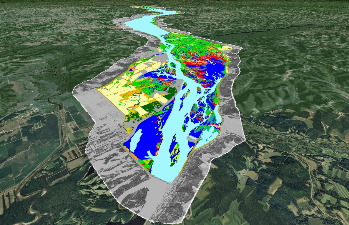
The USGS UMESC is using 8- and 16-inch resolution color infrared digital aerial photography collected during the late summer of 2010 and 2011, combined with state-of-the-art 3D mapping technologies, to create vegetation maps and orthophoto mosaics for the entire 2.75 million acre Upper Mississippi River System (UMRS). The extent of these maps includes the floodplain and aquatic areas of the Mississippi River from Minneapolis, Minnesota, to Cairo, Illinois, and the full length of the Illinois River. These data are being developed for the U.S. Army Corps of Engineer’s Upper Mississippi River Restoration-Environmental Management Program’s (UMRR-EMP) Long Term Resource Monitoring Program (LTRMP) element. The UMRR-EMP LTRMP is a multi-agency Federal and State cooperative program designed to monitor, restore, and enhance the multi-use functionality of the UMRS. As the individual sections of the dataset are finalized, they are distributed publically as shapefiles and KMZ files through UMESC’s Web site. Similar datasets were created by UMESC using 1989 and 2000 aerial photography creating a 20-year historical record. Numerous resource managers and researchers use these data to monitor resource availability and land cover changes, and for project planning.
http://www.umesc.usgs.gov/data_library/land_cover_use/2010_lcu_umesc.html
Example of Upper Mississippi River System's Navigation Pool 4 land cover/land use and hillshade data viewed using Google Earth (view is looking northwest).


