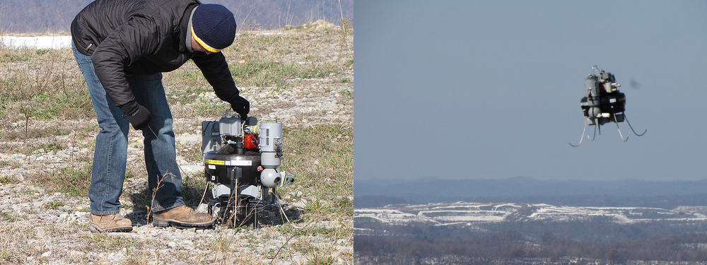
The USGS Unmanned Aircraft Systems (UAS) Project Office is conducting operational test and evaluation (OT&E) of UAS technology. UAS operations are designed to support a wide range of mandated Department of the Interior (DOI) scientific, resource, and land management missions that monitor environmental conditions, analyze the impacts of climate change, respond to natural hazards, understand landscape change rates and consequences, conduct wildlife inventories, and support related land management and law enforcement missions. USGS staff is evaluating several processing, export and dissemination (PED) capabilities. Using a small UAS, tailored solutions are developed to meet specific project requirements at a fraction of the cost of conventional surveying methods. We can obtain high-resolution video, acquire thermal imagery, detect chemical plumes, collect point cloud data, and locate animals that have been tagged with tracking devices. UAS technology allows the USGS to do more with less and enhance its ability to provide unbiased scientific information to decision makers. A 10:1 cost savings may be possible over traditional manned aircraft, and by 2020 UAS may emerge as the primary platform for all DOI remote sensing applications. Much like the use of Internet technology, GIS and GIS-unmanned aircraft systems will allow the DOI to become better stewards of the land.
Unmanned Aircraft Systems


