Hydrothermally altered bedrock in the Silverton mining area in southwestern Colorado contains sulfide minerals that weather to produce acidic and metal-rich leachate that is toxic to aquatic life. This study used statistical analysis to identify correlations between bedrock alteration and water quality. GIS analysis of field-based data and mineral maps produced using various remote sensing datasets were used to identify watershed-scale geologic factors that influence water quality in the Silverton, Colorado, area. The remote sensing datasets Landsat TM, ASTER, and a hybrid AVIRIS were central to the success of this project. This methodology can be used across large areas of the United States to assess the effects that bedrock minerals may have on watersheds in areas where new mining is planned.
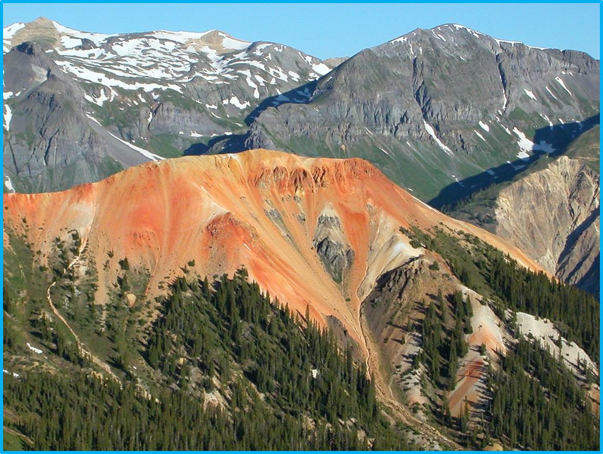
Acid neutralizing, regional propylitically altered igneous rocks (grayish-green), overprinted by younger acid-generating intensely altered rocks (red and yellow) in the Red Mountain mining district north of Silverton, Colorado. Remote sensing datasets were used to map acid-generating and acid-neutralizing rocks that will aid in predicting water quality. View to west.
http://link.springer.com/article/10.1007%2Fs12665-013-2229-y


