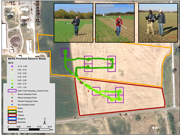
The USGS is collaborating with the USDA Beltsville Agricultural Research Center (BARC) to conduct field-scale research investigating fundamental imagery calibration issues related to Landsat surface reflectance. Researchers are collecting on-farm surface reflectance measurements (see figure) from cover cropped fields throughout fall, winter and spring, using a selection of multispectral and hyperspectral proximal sensors (e.g., Cropscan, CropCircle, ASD). These measurements are used to evaluate inter-date calibration of satellite imagery, and to understand winter cover crop growth and phenology in the context of soil fertility, climate, and process-based growth models.
Handheld multispectral and hyperspectral proximal sensors gather on-the-ground data to help calibrate satellite imagery


