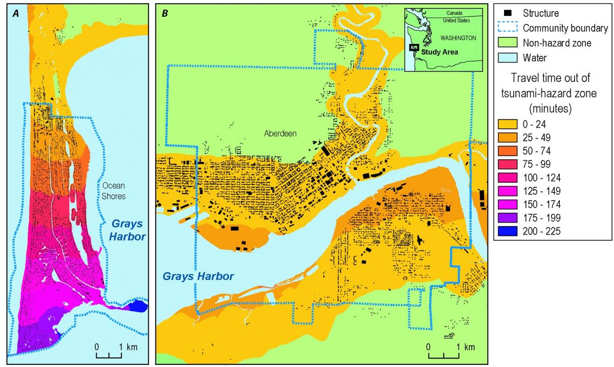
Many low-lying U.S. coastal communities are threatened by tsunami hazards and could be inundated only minutes following a substantial local earthquake. To support tsunami preparedness efforts in the U.S. Pacific Northwest, USGS geographers modeled pedestrian-evacuation travel times using high-resolution imagery (e.g., 1-m, 2011 NAIP) and lidar-derived, 1-m elevation data. Modeling results were merged with various population data to estimate the number of people in each community that may not have enough time to evacuate before waves arrive from tsunamis associated with a Cascadia subduction zone earthquake. This information has helped the State of Washington begin planning for tsunami vertical-evacuation structures in southwest Washington.
Maps of (A) Ocean Shores, Washington, and (B) Aberdeen, Washington, showing modeled pedestrian travel times out of tsunami hazard zones, assuming a travel speed of 1.1 m/s. Tsunami waves are predicted to arrive within 25 minutes after generation by a Cascadia subduction zone earthquake.


