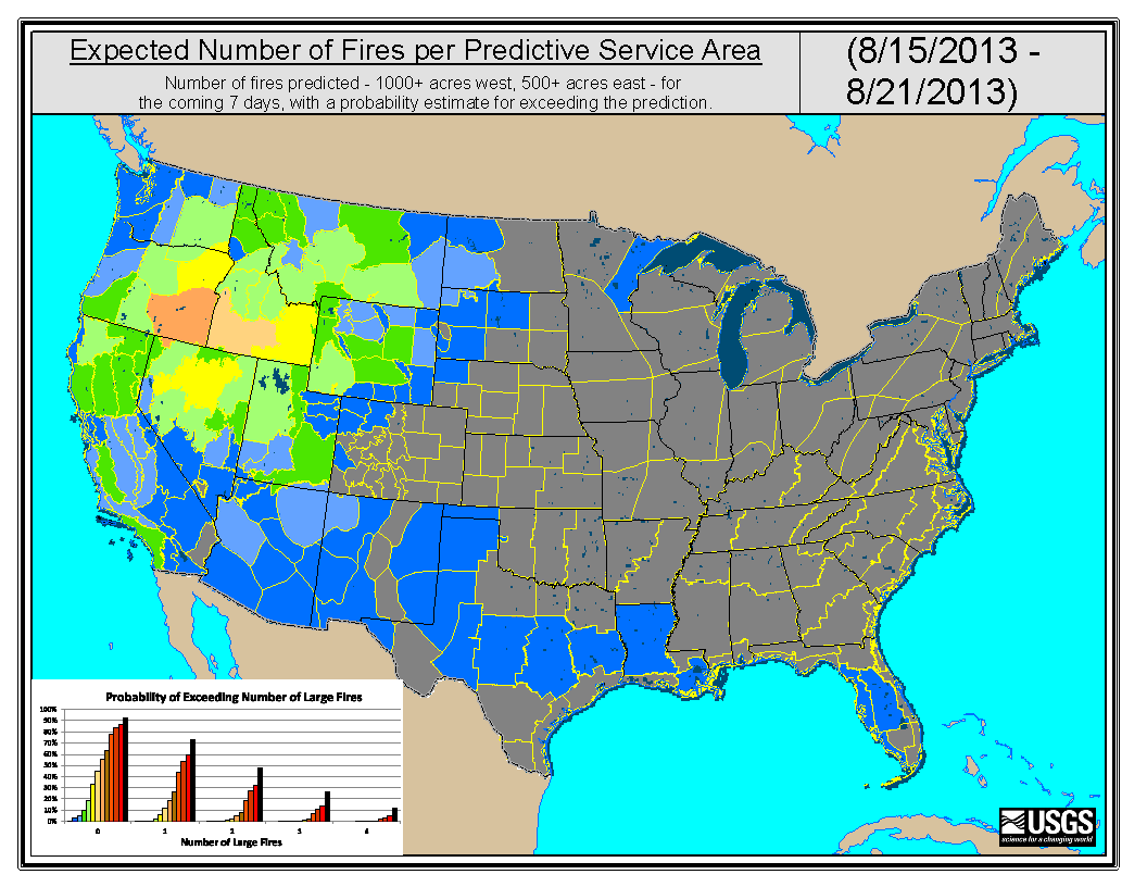
The USGS uses AVHRR satellite data and weather information to assess fuel conditions and create the Fire Potential Index (FPI) to identify areas most susceptible to fire ignition. The forecast for large fire probability has been improved to include all land nationwide. The forecast is based upon historical large fire occurrence from the Monitoring Trends in Burn Severity project and FPI. The USGS produces 7-day forecast maps showing the probability distributions for the number of ignitions and number of large fires (>1000 acres) for each Predictive Service Area (PSA).
 Expected number of fires over the week of August 15-21, 2013, per PSA and probability of exceeding that number (based on present FPI values and historic occurrence frequencies).

