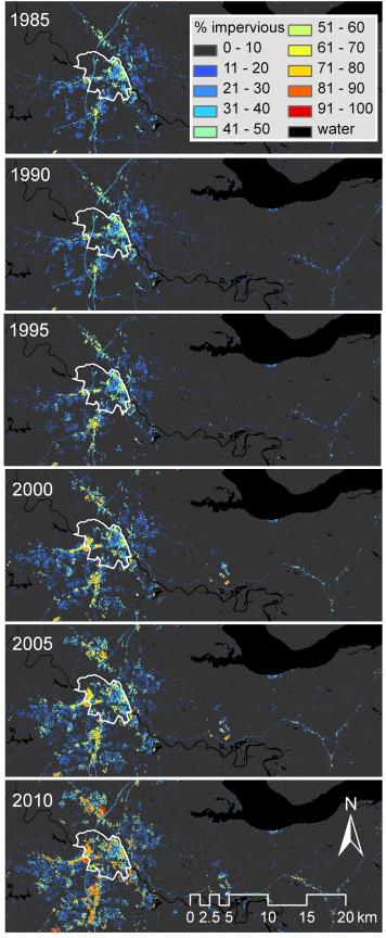
Understanding land use and cover change at the regional scale to inform adaptive management practices relies heavily on multi-scale remotely sensed imagery to supplement the USGS National Land Cover Database. To accurately quantify the level and change in impervious surface and riparian forest buffers and the associated uncertainty requires a historic dataset that reaches further back in time and is more temporally rich than those currently available. The USGS has been working in the Chesapeake Bay watershed to better estimate the rate of change in impervious surfaces and riparian forest buffers in the watershed. Part of this work has involved developing an improved approach to distributed monitoring of impervious surfaces and riparian forest buffers at the regional scale with sufficient precision to inform county land use planning decisions.
Time series of changes in impervious surface in the Chesapeake Bay watershed from 1985-2010
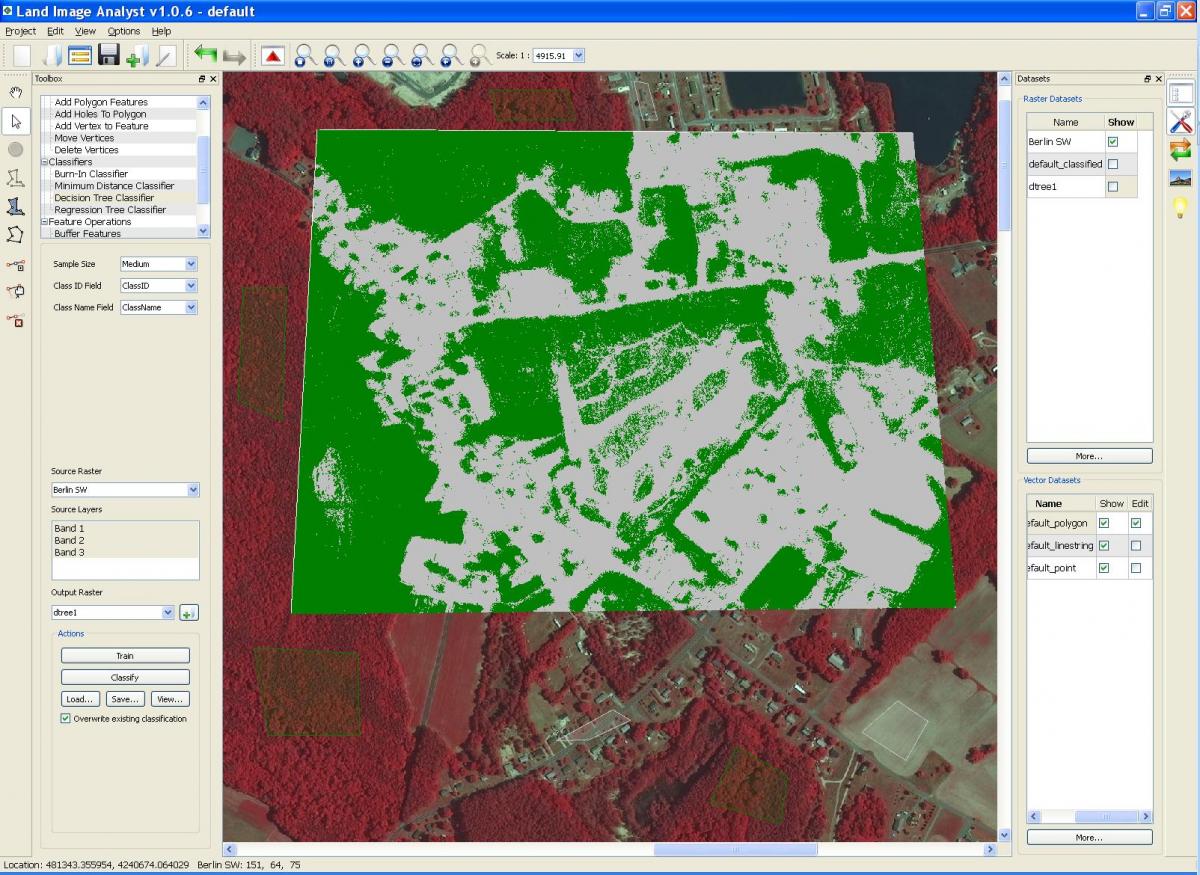
Screenshot example of estimating riparian buffers in a portion of the Chesapeake Bay watershed
Screenshot example of estimating impervious surface in a portion of the Chesapeake Bay watershed


