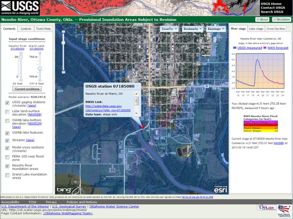
The City of Miami, Oklahoma, is at risk from frequent and severe flooding. A flood on July 5, 2007, caused extensive damage in the city and forced the evacuation of approximately 1,700 people from 500 homes and 30 businesses. To help Miami with flood preparation and response, the USGS and U.S Army Corps of Engineers used high-resolution airborne lidar elevation survey data and a hydraulic model to generate 78 digital flood inundation maps for Miami and surrounding areas. The maps depict the estimated areal extent of flooding for selected flood stage conditions on the Neosho River upstream and Grand Lake O’ the Cherokees downstream from Miami. The maps identify areas that are vulnerable to flooding. The USGS also developed a pilot Internet mapping interface to facilitate display of user-selected flood inundation maps that correspond to current or forecast stage conditions. These maps provide residents and emergency management personnel with information needed for flood response activities such as evacuations and road closures as well as for post-flood recovery efforts.
http://ok.water.usgs.gov/projects/webmap/miami/
Screen capture of the pilot flood inundation Internet mapping interface used to quickly identify areas in the City of Miami, Oklahoma, that are vulnerable to flooding.


