A vegetation map for Big Muddy National Fish and Wildlife Refuge, Missouri, is being expanded to include newly acquired lands and previously unmapped areas. The primary remote sensing data are NAIP natural color and color infrared imagery from 2006 through 2011. Results are critical to the development of the Comprehensive Conservation Plan for the refuge. Results also will be used to explore relationships between Missouri River floodplain landforms and vegetation; knowledge gained will inform the development of a decision support tool for the efficient management and restoration of Missouri River floodplain habitat.
http://pubs.usgs.gov/of/2011/1038/
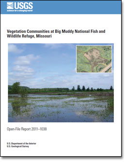
 Cover of USGS Open File Report 2011–1038: Vegetation Communities at Big Muddy National Fish and Wildlife Refuge. National Agricultural Imagery Program data are being used to expand the Refuge map to previously unmapped units and to newly acquired lands.

