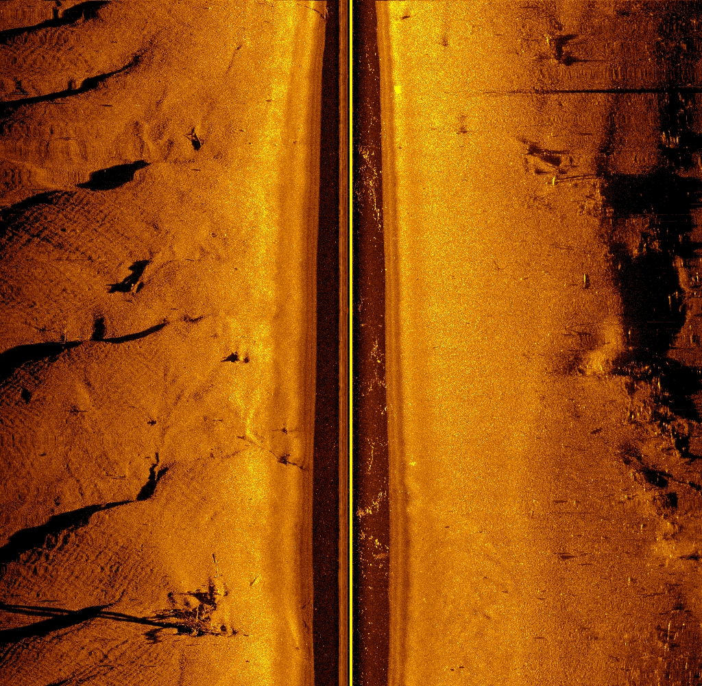
The USGS UMESC has been studying native mussels in the UMRS for several years. Native mussel conservation and restoration is a priority in the UMRS because of the ecological services the mussels provide and their capability to serve as sentinels of river health. Side-scan sonar imagery was collected for West Newton Chute, Navigation Pool 5 of the UMRS. These images were georeferenced and mosaicked to create an underwater picture of the river bottom. The goal is to identify factors limiting the distribution and abundance of freshwater mussels in the UMRS basin and provide managers with conservation and restoration procedures and strategies.
Side-scan sonar image of West Newton Chute, Upper Mississippi River Navigation Pool 5


