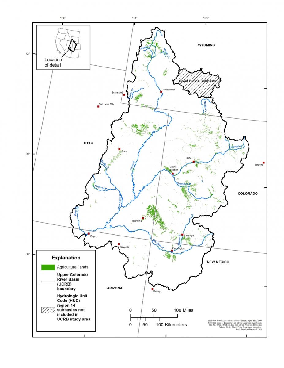
In 2013, the USGS Utah Water Science Center in cooperation with the Bureau of Reclamation completed a temporally and spatially consistent dataset of irrigated agricultural lands in the Upper Colorado River Basin (UCRB). The dataset includes information about irrigation status and irrigation type. Irrigation status is the presence or absence of irrigation on an agricultural parcel during the selected growing season. Irrigation type is the method used to irrigate a field, usually sprinklers or flood methods. Irrigation type for discrete fields was determined from photogrammetric examination of 1-m color National Agriculture Imagery Program imagery. Irrigation status was determined using remote sensing classification based on Landsat 5 TM data for the growing seasons between 2007 and 2010. Among other uses, the data will be used as input to update and refine an existing dissolved-solids SPARROW (Spatially Referenced Regressions on Watershed Attributes) model for the UCRB.
 Map showing the extent of mapped agricultural lands in the Upper Colorado River Basin

