In 1999, an international consortium of space agencies created a mechanism to provide information in support of disaster relief worldwide. This group, the “International Charter for Space and Major Disasters,” is an important resource for the use of satellite data to evaluate the impact of disasters. From the Charter’s formation in 1999, its membership has grown to 15 space organizations managing more than 20 Earth-observing satellites. The data from these satellites have helped emergency managers worldwide to deal with a variety of natural and man-made disasters.
When a major disaster occurs and relief and reconstruction efforts are anticipated, the space agencies provide priority satellite acquisitions and access to previously archived satellite data at no cost to the responding agencies.
The USGS is an active member, drawing on Federal and commercial data to support Charter needs. Archived and real-time satellite data acquisitions have proven useful to disaster management agencies, international relief organizations, and the science community at large. The Charter has been activated more than 300 times in response to earthquakes, landslides, volcanic eruptions, weather-related catastrophes, and technological problems (such as oil spills and hazardous materials outbreaks).
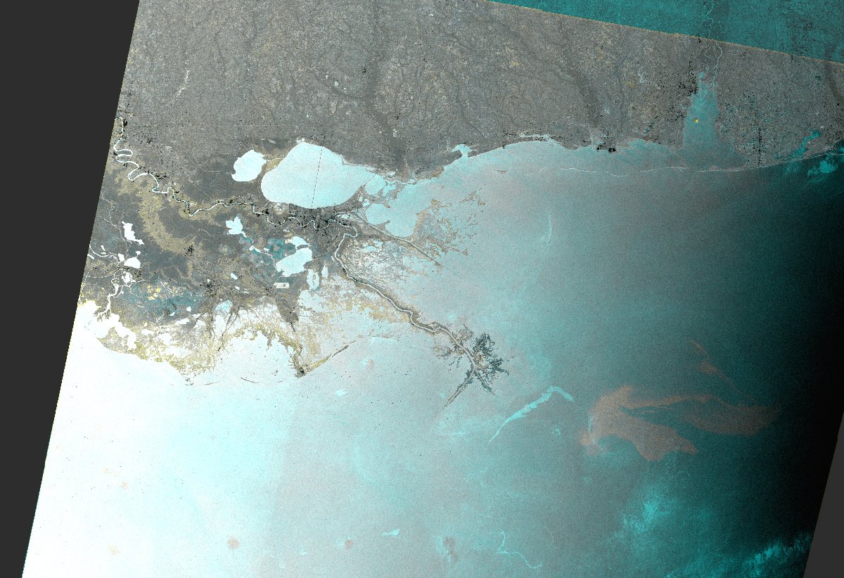
Oil Spill in the Gulf of Mexico—ENVISAT ASAR WS provided by the European Space Agency. The oil slick appears in light gray while light blue features correspond to the reference image.


