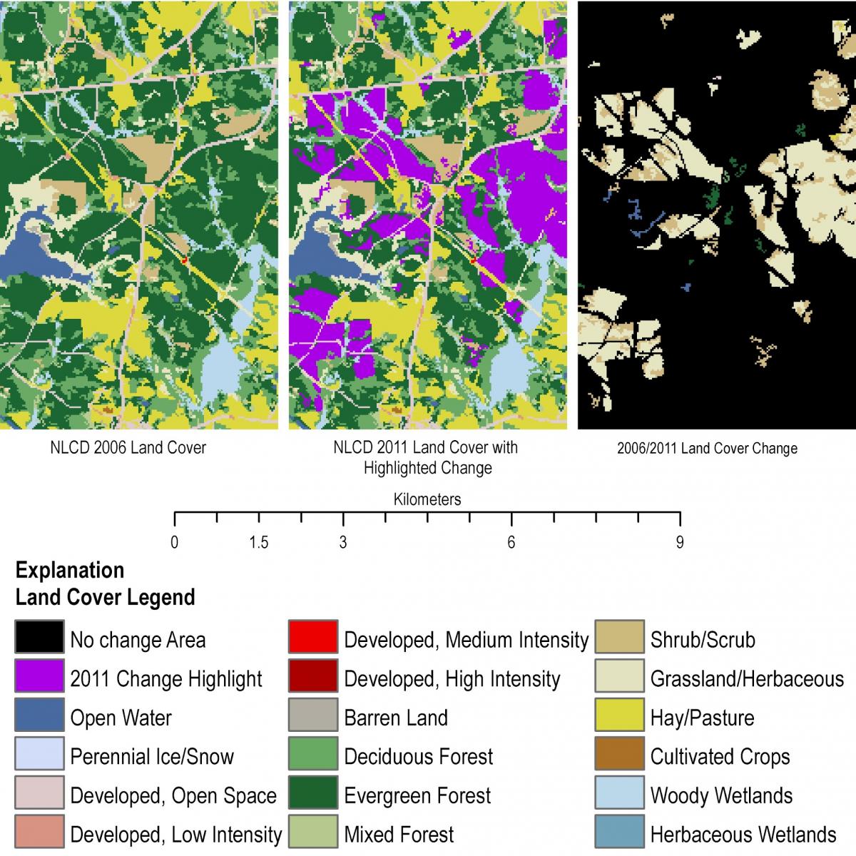
The USGS, working in partnership with the interagency Multi-Resolution Land Characteristics (MRLC) Consortium, is producing the next version of the National Land Cover Database (NLCD). NLCD 2011 data products are derived from Landsat and quantify land cover and urban imperviousness changes between 2006 and 2011 for the conterminous United States and Alaska at 30-m resolution. Monitoring land cover change with scientifically credible geospatial data layers provides support for a broad spectrum of applications in land management, environmental studies, modeling, and policy decisions. These data (and associated products) require continuous production, updating and improvement to provide the most relevant land cover information for the Nation, with updates planned at 5-year intervals. All NLCD information can be accessed at www.mrlc.gov.
An example of NLCD 2011 forest harvest land cover change near Molina, Georgia.


