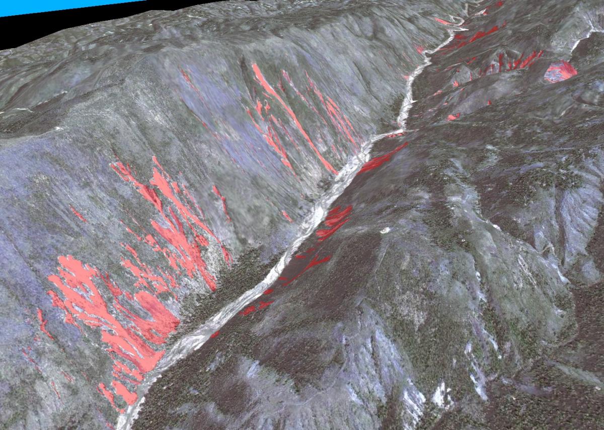
Aerial photography and optical satellite imagery are being used to map locations of landslides induced by the January 2010 Haiti earthquake. Pre- and post-earthquake high-resolution (4-meter to submeter) imagery make it possible to map the locations and extent of the seismically induced landslides with a high degree of accuracy. Much of the area is remote and could not all be surveyed on the ground before erosion. Vegetation growth also obscured the features, so the use of high-resolution imagery was essential to the success of this project.
Three-dimensional image of mapped landslides (red) from the 2010 Haiti earthquake. View is to the east-northeast along the Enriquillo-Plantain garden Fault Zone.


