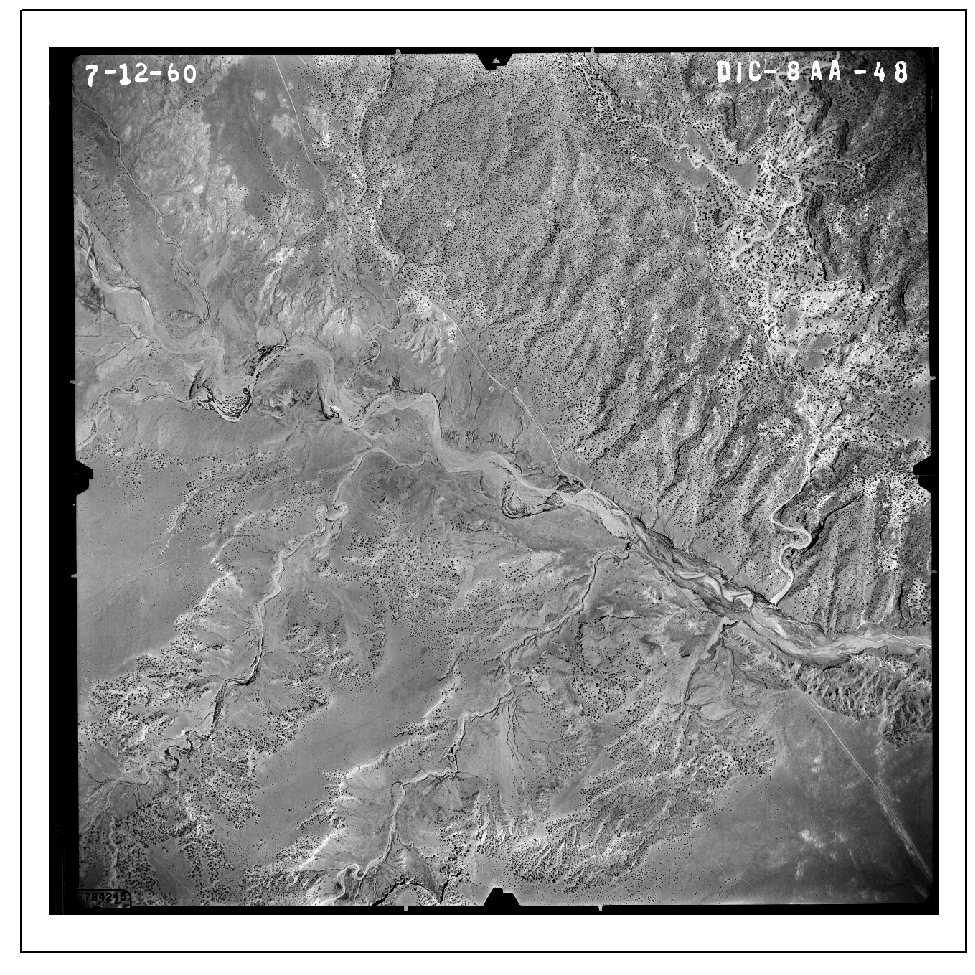
Historical aerial photography is an essential resource for change detection for time periods before the development of high-resolution satellite imagery. To support an assessment of the invasive Russian olive in the Escalante River system, historical aerial photography from July and August 1960 was obtained from the U.S Department of Agriculture Aerial Photography Field Office. The photography was scanned at 12 microns creating a file size of 375 MB.
One of twelve 1960 vintage aerial photographs obtained from the U.S. Department of Agriculture Aerial Photography Field Office for a change detection study of the Escalante River in Utah.


